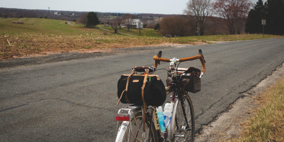
River Roadie
| Distance: 59.2 miles | Climbing: 2,841 feet |
| Gravel: 4ish miles | Singletrack: 0 miles |
| Relevant: Gravel | Montgomery County | Red Line | Shady Grove Station | |
This is a good way to ride some of the popular roadie roads in southwest MoCo without slogging out of town on MacArthur Blvd. River Road turns to gravel at some point, but I can never remember exactly where on the map.