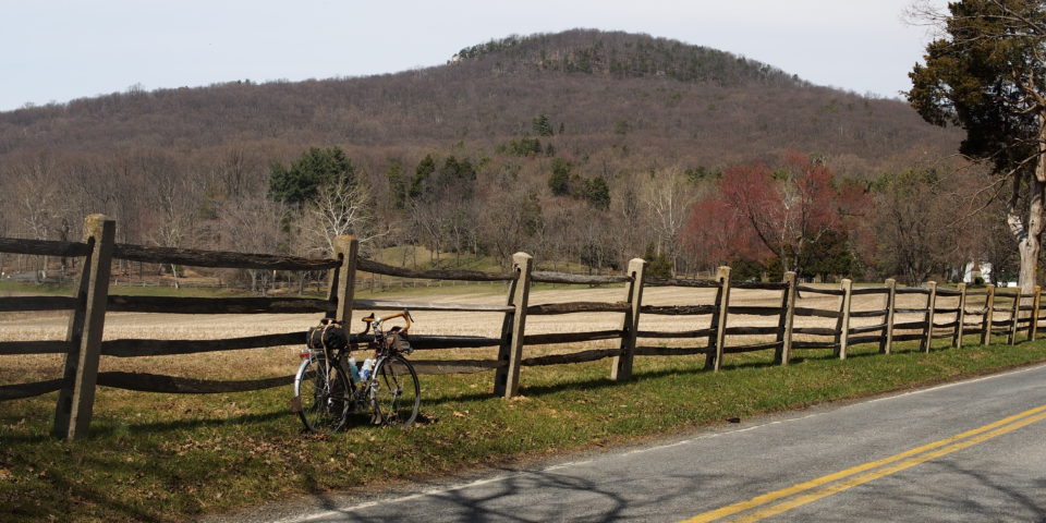
Sugarloafin’

| Distance: 55.1 miles | Climbing: 3,532 feet |
| Gravel: 3 miles | Singletrack: 0 miles |
| Relevant: Gravel | Montgomery County | Red Line | Shady Grove Station | |
Ah, Sugarloaf. Our one “mountain.” Don’t let the west coasters smug you out of this ride though, this is a really fun route on some great roads through Montgomery County’s Agriculture Preserve. It’s almost entirely paved. West Harris Road can be a little gnarly on road tires, but it’s doable. The cue sheet just happens to pass a brewpub in Gaithersburg, about 2 miles from the end of the ride.